Home > Apps > Microsoft Windows
File extension list filtered by software name
RoboGEO
Found 24 file extension associations related to RoboGEO
Platform, operating system: ![]() Microsoft Windows
Microsoft Windows
Go to: RoboGEO description
Developer: Pretek, Inc.
RoboGEO
Developer / company: Pretek, Inc.
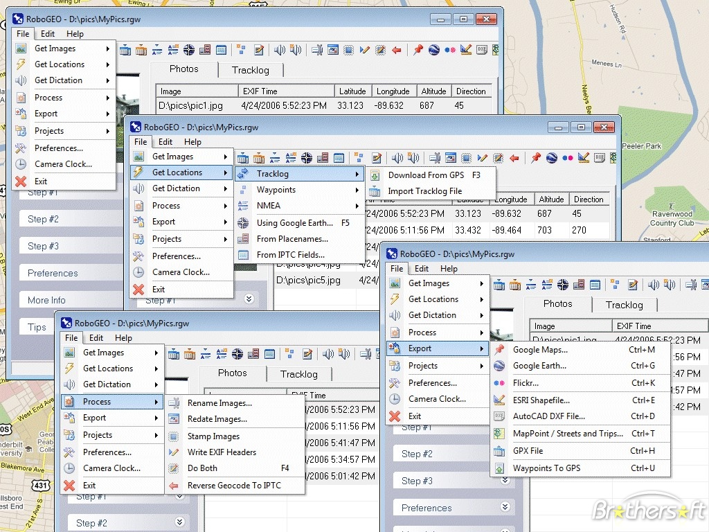
RoboGEO is a program that allows users to geocode their photographs and pictures. Used by thousands of companies and governments worldwide, RoboGEO is the best-of-breed solution for geocoding digital photos.
RoboGEO's approach is "software only" and that makes it less expensive, more convenient, and more powerful than hardware-based products.
RoboGEO works with the following file extensions:
Note: You can click on any file extension link from the list below, to view its detailed information. The list of extensions used or otherwise associated with the application may not be complete, because many common file extensions on our website, such as jpg (pictures) or txt (text files), can be opened by a large number of applications, or are too general file format. However most, if not all directly associated file extensions should be listed with its appropriate program. Although its likely, that some file extensions may be missing from the list of associated file extensions with the application, yet they can be opened, be part of, or otherwise be associated with the program.
Common file extensions used by RoboGEO
![]() .arw
.arw.bmp
.cr2
![]() .dng
.dng.dxf
.gif
![]() .gpx
.gpx.jpeg
![]() .jpg
.jpg![]() .kml
.kml![]() .kmz
.kmz.mrw
.nef
![]() .orf
.orf.png
.raf
![]() .raw
.raw![]() .rw2
.rw2
Other file extensions associated with RoboGEO
Comparison table of actions that RoboGEO can perform with each of its associated file type beta
This table might not contain all possible associated or supported file types or may contain incorrect data.
If you need more information please contact the developers of RoboGEO (Pretek, Inc.), or check out their product website.
File type \ Action | Open | Save | Edit | View | Play | Convert | Create | Record | Import | Export | Burn | Extract | Recover | Backup | Settings | Other | |
|---|---|---|---|---|---|---|---|---|---|---|---|---|---|---|---|---|---|
| - | - | - | - | - | - | - | - | Yes | - | - | - | - | - | - | - | - | |
| - | - | - | - | - | - | - | - | Yes | - | - | - | - | - | - | - | - | |
| - | - | - | - | - | - | - | - | Yes | - | - | - | - | - | - | - | - | |
| - | - | - | - | - | - | - | - | Yes | - | - | - | - | - | - | - | - | |
| - | - | - | - | - | - | - | - | - | Yes | - | - | - | - | - | - | - | |
| - | - | - | - | - | - | - | - | Yes | - | - | - | - | - | - | - | - | |
| - | - | - | - | - | - | - | - | Yes | - | - | - | - | - | - | - | - | |
| - | - | - | - | - | - | - | - | Yes | - | - | - | - | - | - | - | - | |
| - | - | - | - | - | - | - | - | Yes | - | - | - | - | - | - | - | - | |
| - | - | - | - | - | - | - | - | Yes | - | - | - | - | - | - | - | - | |
| - | - | - | - | - | - | - | - | Yes | Yes | - | - | - | - | - | - | - | |
| - | - | - | - | - | - | - | - | Yes | Yes | - | - | - | - | - | - | - | |
| - | - | - | - | - | - | - | - | Yes | - | - | - | - | - | - | - | - | |
| - | - | - | - | - | - | - | - | Yes | - | - | - | - | - | - | - | - | |
| - | - | - | - | - | - | - | - | Yes | - | - | - | - | - | - | - | - | |
| - | - | - | - | - | - | - | - | Yes | - | - | - | - | - | - | - | - | |
| - | - | - | - | - | - | - | - | Yes | - | - | - | - | - | - | - | - | |
| - | - | - | - | - | - | - | - | Yes | - | - | - | - | - | - | - | - | |
| - | - | - | - | - | - | - | - | Yes | - | - | - | - | - | - | - | - | |
| - | - | - | - | - | - | - | - | Yes | - | - | - | - | - | - | - | - | |
| - | - | - | - | - | - | - | - | Yes | - | - | - | - | - | - | - | - | |
| - | - | - | - | - | - | - | - | Yes | - | - | - | - | - | - | - | - | |
| - | - | - | - | - | - | - | - | Yes | - | - | - | - | - | - | - | - | |
| - | - | - | - | - | - | - | - | Yes | - | - | - | - | - | - | - | - | |
| Open | Save | Edit | View | Play | Convert | Create | Record | Import | Export | Burn | Extract | Recover | Backup | Settings | Other |

