Home > Apps > Microsoft Windows
File extension list filtered by software name
CARTOMAP CAD for Windows
Found 2 file extension associations related to CARTOMAP CAD for Windows
Platform, operating system: ![]() Microsoft Windows
Microsoft Windows
Go to: CARTOMAP CAD for Windows description
CARTOMAP CAD for Windows website
Developer: ANEBA Geoinformática, S.L.
 CARTOMAP CAD for Windows
Developer / company: ANEBA Geoinformática, S.L.
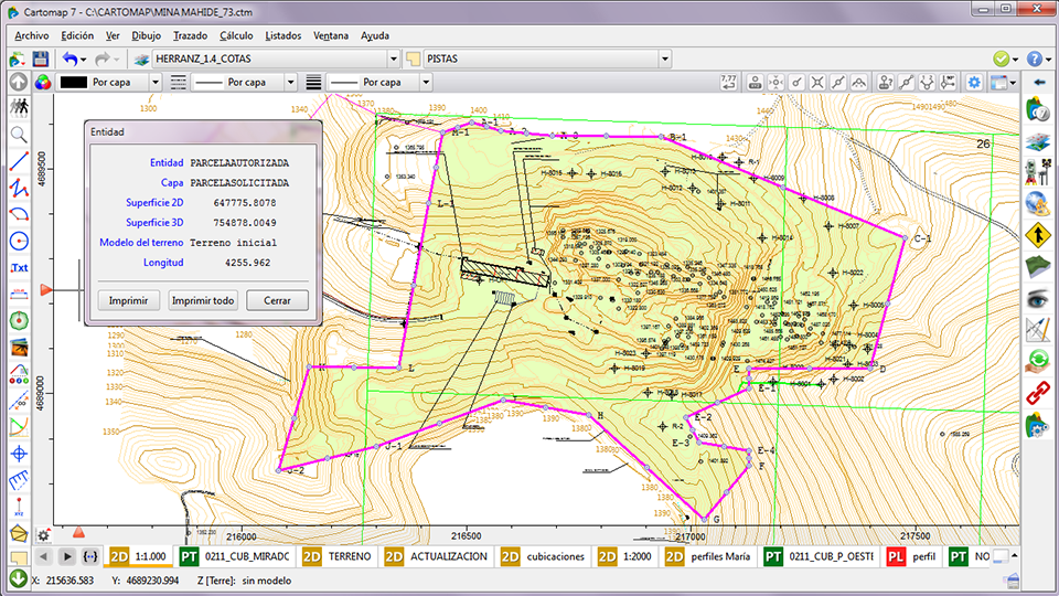
CARTOMAP can handle a variety of projects: Civil Engineering, Surveying, Land Planning, Mining... and it uses a unified platform to do it. CARTOMAPis a field-to-finish application that assists you through the whole project process. From the field data which come from a wide variety of sources (total stations, GPS, DWG/DXF/LandXML files, photogrammetric data, orthophotos, different ASCII files...) up to plan layouts that can combine 2D Views, longitudinal profiles, cross sections and 3D Views. The processes in between enable users to calculate Digital Terrain Model, do surveying adjustments, design alignments and corridor models and solve alignment intersections.
The complete CARTOMAP functionality can be over your current needs. This is the reason why the functionalities of CARTOMAP have been grouped in different modules. Users can find the best solution at a minimum cost. You can upgrade from an initial module to another module according to your needs without detriment in your economy. The price of upgrading from one module to another is the difference between the initial and final module prices, it is that easy.
CARTOMAP CAD for Windows works with the following file extensions:
Note: You can click on any file extension link from the list below, to view its detailed information. The list of extensions used or otherwise associated with the application may not be complete, because many common file extensions on our website, such as jpg (pictures) or txt (text files), can be opened by a large number of applications, or are too general file format. However most, if not all directly associated file extensions should be listed with its appropriate program. Although its likely, that some file extensions may be missing from the list of associated file extensions with the application, yet they can be opened, be part of, or otherwise be associated with the program.
Common file extensions used by CARTOMAP CAD for Windows
Comparison table of actions that CARTOMAP CAD for Windows can perform with each of its associated file type beta
This table might not contain all possible associated or supported file types or may contain incorrect data.
If you need more information please contact the developers of CARTOMAP CAD for Windows (ANEBA Geoinformática, S.L.), or check out their product website.

