A geodatabase file extension is related to the ArcGIS Runtime SDK and used for its data files.
Software that open geodatabase file
GEODATABASE file extension - ArcGIS Runtime SDK data
What is geodatabase file? How to open geodatabase files?
File type specification:
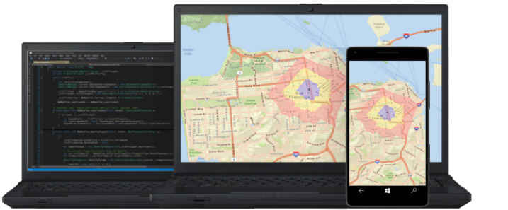
The geodatabase file extension is associated with the ArcGIS Runtime SDK, a software used to develop mapping apps for various platforms.
The geodatabase file stores some kind of data used by ArcGIS Runtime SDK.
The default software associated to open geodatabase file:
Company or developer:
Esri
ArcGIS Runtime SDK helps programmers to build and deploy native mapping applications to a variety of popular platforms and devices.
List of software applications associated to the .geodatabase file extension
Recommended software programs are sorted by OS platform (Windows, macOS, Linux, iOS, Android etc.)
and possible program actions that can be done with the file: like open geodatabase file, edit geodatabase file, convert geodatabase file, view geodatabase file, play geodatabase file etc. (if exist software for corresponding action in File-Extensions.org's database).
Hint:
Click on the tab below to simply browse between the application actions, to quickly get a list of recommended software, which is able to perform the specified software action, such as opening, editing or converting geodatabase files.
Programs that can create geodatabase file - ArcGIS Runtime SDK data
Programs supporting the exension geodatabase on the main platforms Windows, Mac, Linux or mobile. Click on the link to get more information about ArcGIS Runtime SDK for create geodatabase file action.

