Home > Apps > Online services
File extension list filtered by software name
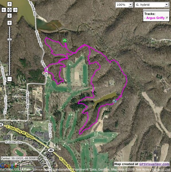
GPS Visualizer
Found 6 file extension associations related to GPS Visualizer and 1 file format developed specifically for use with GPS Visualizer.
Platform, operating system: ![]() On-line services
On-line services
Go to: GPS Visualizer description
Developer: Adam Schneider
GPS Visualizer
Developer / company: Adam Schneider
GPS Visualizer is do-it-yourself mapping, for both beginners and power users. Its strengths are its simplicity and flexibility in terms of input, and its enormous number of options regarding the output. When you upload your GPS data, GPS Visualizer will automatically detect what kind of file it is and process it accordingly. The output can be in the form of JPEG maps, SVG drawings, Google Maps, KML files for Google Earth, elevation profiles, plain-text tables with all your raw data, or GPX files that can be used with many other GPS-related applications. Moreover, all of the maps and profiles can be adjusted in innumerable ways using the options on the input forms: you can change the size, the colors, the background map, etc. In the case of Google Maps, there is even more you can do to edit your map after it's been created, if you're comfortable with HTML and/or JavaScript.
GPS Visualizer related articles:
How to convert KML to GPX - Converting Google Earth Keyhole Markup Language file format to GPS XML eXchange format.
GPS Visualizer works with the following file extensions:
Note: You can click on any file extension link from the list below, to view its detailed information. The list of extensions used or otherwise associated with the application may not be complete, because many common file extensions on our website, such as jpg (pictures) or txt (text files), can be opened by a large number of applications, or are too general file format. However most, if not all directly associated file extensions should be listed with its appropriate program. Although its likely, that some file extensions may be missing from the list of associated file extensions with the application, yet they can be opened, be part of, or otherwise be associated with the program.
GPS Visualizer default file extension associations
![]() .ghd
.ghd
Common file extensions used by GPS Visualizer
Other file extensions associated with GPS Visualizer
Comparison table of actions that GPS Visualizer can perform with each of its associated file type beta
This table might not contain all possible associated or supported file types or may contain incorrect data.
If you need more information please contact the developers of GPS Visualizer (Adam Schneider), or check out their product website.

