Home > Pitney Bowes Software Inc. (MapInfo)
File extension list filtered by software name
MapInfo
Found 18 file extension associations related to MapInfo and 12 file formats developed specifically for use with MapInfo.
Platform, operating system: ![]() Microsoft Windows
Microsoft Windows
Go to: MapInfo description
Developer: Pitney Bowes Software Inc. (MapInfo)
 MapInfo
Developer / company: Pitney Bowes Software (MapInfo)
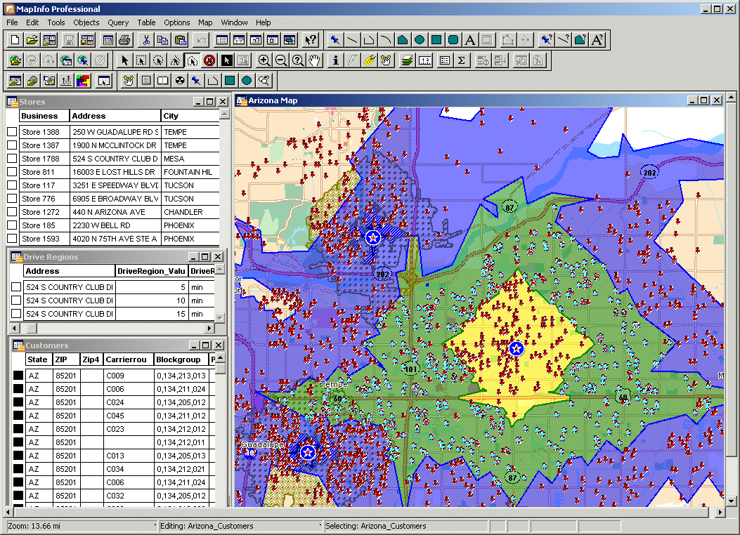
MapInfo is a powerful Microsoft Windows-based mapping application that enables business analysts and GIS professionals to easily visualize the relationships between data and geography. With MapInfo, you can perform sophisticated and detailed data analysis by leveraging the power of location. Including location in your decision making and daily operations can help you increase revenue, lower costs, boost efficiency and improve services.
MapInfo, the industry's leading business mapping solution, lets you perform sophisticated and detailed data analysis to drive insightful decisions. Use MapInfo Professional to:
Visualize.
- Create highly detailed maps to enhance presentations and aid in decision making
- Reveal patterns and trends in your data that may otherwise be impossible to see
Analyze.
- Perform sophisticated and extensive data analysis
- Understand customer and marketplace demographics
Strategize.
- Manage geographically based assets, such as stores, people and property
- Plan logistics and prepare for emergency response
MapInfo icon
![]()
MapInfo icon
size: 128px x 128px (.png with transparency)
Search converter
Sample related conversions
MapInfo works with the following file extensions:
Note: You can click on any file extension link from the list below, to view its detailed information. The list of extensions used or otherwise associated with the application may not be complete, because many common file extensions on our website, such as jpg (pictures) or txt (text files), can be opened by a large number of applications, or are too general file format. However most, if not all directly associated file extensions should be listed with its appropriate program. Although its likely, that some file extensions may be missing from the list of associated file extensions with the application, yet they can be opened, be part of, or otherwise be associated with the program.
MapInfo default file extension associations
The most common file format used with the specific file extension
![]() .map file extension is used for Geographical map
.map file extension is used for Geographical map
Other file extensions or file formats developed for use with MapInfo
![]() .3df
.3df![]() .3tf
.3tf![]() .bsb
.bsb![]() .gst
.gst![]() .mid
.mid![]() .mif
.mif![]() .mik
.mik![]() .mrr
.mrr![]() .omd
.omd![]() .tab
.tab![]() .wor
.wor
Common file extensions used by MapInfo
Other file extensions associated with MapInfo
Comparison table of actions that MapInfo can perform with each of its associated file type beta
This table might not contain all possible associated or supported file types or may contain incorrect data.
If you need more information please contact the developers of MapInfo (Pitney Bowes Software Inc. (MapInfo)), or check out their product website.
File type \ Action | Open | Save | Edit | View | Play | Convert | Create | Record | Import | Export | Burn | Extract | Recover | Backup | Settings | Other | |
|---|---|---|---|---|---|---|---|---|---|---|---|---|---|---|---|---|---|
| Yes | Yes | Yes | - | - | - | Yes | - | - | - | - | - | - | - | - | - | Yes | |
| Yes | - | - | - | - | - | Yes | - | - | - | - | - | - | - | - | - | - | |
| Yes | Yes | Yes | - | - | - | Yes | - | - | - | - | - | - | - | - | - | Yes | |
| Yes | - | - | - | - | - | - | - | - | - | - | - | - | - | - | - | - | |
| - | - | - | - | - | - | - | - | - | - | - | - | - | - | - | - | Yes | |
| - | - | - | - | - | - | - | - | - | - | - | - | - | - | - | - | Yes | |
| - | - | - | - | - | - | - | - | - | - | - | - | - | - | - | - | Yes | |
| - | - | - | Yes | - | - | - | - | - | - | - | - | - | - | - | - | - | |
| - | - | - | - | - | - | - | - | Yes | - | - | - | - | - | - | - | - | |
| - | - | - | - | - | - | - | - | Yes | - | - | - | - | - | - | - | - | |
| - | - | - | Yes | - | - | - | - | - | - | - | - | - | - | Yes | - | - | |
| Yes | Yes | Yes | Yes | - | - | - | - | - | - | - | - | - | - | - | - | - | |
| - | - | - | Yes | - | - | - | - | - | - | - | - | - | - | - | - | - | |
| - | - | - | - | - | - | Yes | - | - | - | - | - | - | - | - | - | Yes | |
| Yes | Yes | Yes | - | - | - | Yes | - | - | - | - | - | - | - | - | - | - | |
| - | - | - | - | - | - | Yes | - | - | - | - | - | - | - | - | - | Yes | |
| - | - | - | - | - | - | - | - | - | - | - | - | - | - | - | - | Yes | |
| Yes | Yes | Yes | - | - | - | Yes | - | - | - | - | - | - | - | - | - | Yes |

