Home > Apps > Multiplatform
File extension list filtered by software name
QGIS
Found 15 file extension associations related to QGIS and 2 file formats developed specifically for use with QGIS.
Platform, operating system: ![]() Multiplatform
Multiplatform
Go to: QGIS description
Developer: QGIS Project Team
QGIS
Developer / company: QGIS Project Team
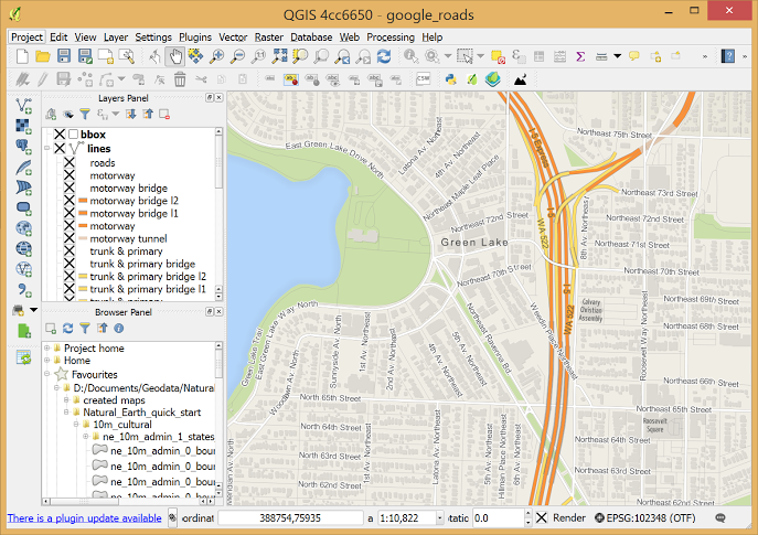
Quantum GIS (QGIS) is a user friendly Open Source Geographic Information System (GIS) licensed under the GNU General Public License. QGIS is an official project of the Open Source Geospatial Foundation (OSGeo). It runs on Linux, Unix, Mac OSX, and Windows and supports numerous vector, raster, and database formats and functionalities.
QGIS icon
![]()
QGIS icon
size: 128px x 128px (.png with transparency)
QGIS works with the following file extensions:
Note: You can click on any file extension link from the list below, to view its detailed information. The list of extensions used or otherwise associated with the application may not be complete, because many common file extensions on our website, such as jpg (pictures) or txt (text files), can be opened by a large number of applications, or are too general file format. However most, if not all directly associated file extensions should be listed with its appropriate program. Although its likely, that some file extensions may be missing from the list of associated file extensions with the application, yet they can be opened, be part of, or otherwise be associated with the program.
QGIS default file extension associations
Common file extensions used by QGIS
Other file extensions associated with QGIS
Comparison table of actions that QGIS can perform with each of its associated file type beta
This table might not contain all possible associated or supported file types or may contain incorrect data.
If you need more information please contact the developers of QGIS (QGIS Project Team), or check out their product website.
File type \ Action | Open | Save | Edit | View | Play | Convert | Create | Record | Import | Export | Burn | Extract | Recover | Backup | Settings | Other | |
|---|---|---|---|---|---|---|---|---|---|---|---|---|---|---|---|---|---|
| - | - | - | - | - | - | - | - | Yes | - | - | - | - | - | - | - | - | |
| - | - | - | - | - | - | - | - | Yes | - | - | - | - | - | - | - | - | |
| - | - | - | - | - | - | - | - | Yes | - | - | - | - | - | - | - | - | |
| - | - | - | - | - | - | - | - | Yes | Yes | - | - | - | - | - | - | - | |
| - | - | - | - | - | - | - | - | Yes | - | - | - | - | - | - | - | - | |
| - | - | - | - | - | - | - | - | Yes | - | - | - | - | - | - | - | - | |
| - | - | - | - | - | - | - | - | Yes | - | - | - | - | - | - | - | - | |
| Yes | Yes | Yes | - | - | - | - | - | - | - | - | - | - | - | - | - | - | |
| Yes | Yes | Yes | - | - | - | - | - | - | - | - | - | - | - | - | - | - | |
| - | - | - | - | - | - | - | - | - | - | - | - | - | - | - | Yes | - | |
| - | - | - | - | - | - | - | - | - | - | - | - | - | - | - | - | Yes | |
| Yes | Yes | Yes | - | - | - | - | - | - | - | - | - | - | - | - | - | - | |
| - | - | - | - | - | - | - | - | Yes | Yes | - | - | - | - | - | - | - | |
| - | - | - | - | - | - | - | - | Yes | - | - | - | - | - | - | - | - | |
| - | - | - | - | - | - | - | - | Yes | Yes | - | - | - | - | - | - | - |

