Files with vpf file extension can mostly be found as images in Vector Product Format used for example by U.S. Department of Defense.
Software that open vpf file
VPF file extension - Vector Product Format
What is vpf file? How to open vpf files?
File type specification:
The vpf file extension is related to Vector Product Format. VPF is a standard data format, structurally organized for geographic databases, intended for direct use based on a georelational data model.
It is also a military standard for vector-based digital map products produced by the U.S. Department of Defense (DOD).
The default software associated to open vpf file:
Company or developer:
MWH Soft, Inc.
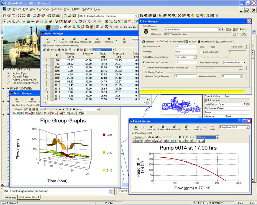
H2OMAP Water provides the most powerful and practical GIS platform for water utility solutions. As a stand-alone GIS-based program, H2OMAP Water combines spatial analysis tools and mapping functions with sophisticated and accurate network modeling for complete infrastructure (asset) management and business planning.
List of recommended software applications associated to the .vpf file extension
Recommended software programs are sorted by OS platform (Windows, macOS, Linux, iOS, Android etc.)
and possible program actions that can be done with the file: like open vpf file, edit vpf file, convert vpf file, view vpf file, play vpf file etc. (if exist software for corresponding action in File-Extensions.org's database).
Applications that export vpf file - Vector Product Format
Programs supporting the exension vpf on the main platforms Windows, Mac, Linux or mobile. Click on the link to get more information about H2OMAP Water for export vpf file action.


