SUR file extension - Topocad file
What is sur file? How to open sur files?
File type specification:
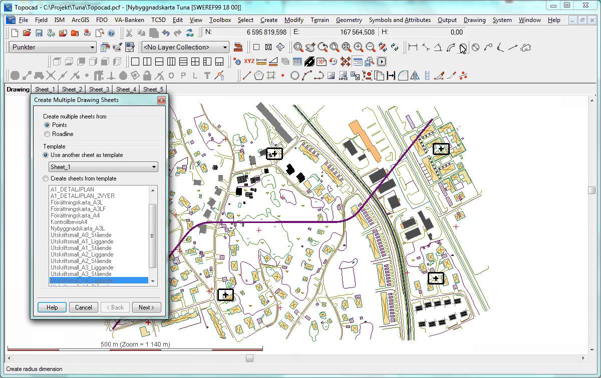
The sur file extension is associated with the Topocad, a CAD system for Microsoft Windows made for surveying, mapping, design and GIS. The .sur file stores various data used for internal purposes of the Topocad.
The default software associated to open sur file:
Company or developer:
Adtollo
Topocad is a CAD system made for surveying, mapping, design and GIS. Topocad is built up by different modules (base, GIS, design, field, database connector). The development originally started 1994 and Topocad has grown to a complete package covering field survey to finished designs and ready maps.
List of recommended software applications associated to the .sur file extension
Recommended software programs are sorted by OS platform (Windows, macOS, Linux, iOS, Android etc.)
and possible program actions that can be done with the file: like open sur file, edit sur file, convert sur file, view sur file, play sur file etc. (if exist software for corresponding action in File-Extensions.org's database).
Unspecified and all other actions for computer programs working with sur file - Topocad file
Click on the software link for more information about Topocad. Topocad uses sur file type for its internal purposes and/or also by different way than common edit or open file actions (eg. to install/execute/support an application itself, to store application or user data, configure program etc.).


