Home > Trimble Navigation Limited
File extension list filtered by software name
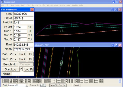
Terramodel
Found one file extension association related to Terramodel and 1 file format developed specifically for use with Terramodel.
Platform, operating system: ![]() Microsoft Windows
Microsoft Windows
Go to: Terramodel description
Developer: Trimble Navigation Limited
Trimble software list & details
 Terramodel
Developer / company: Trimble
Trimble Terramodel software, is a powerful software package for the Surveyor, Civil Engineer and Contractor, who requires a CAD and Design package with integrated support for raw survey data.
Terramodel software you can import data collected using the Trimble conventional instrument product line, as well as from the Trimble TSCe Controller running the Trimble Survey Controller software. The software allows you to do all the necessary COGO calculations, quickly and easily produce roadway designs, generate contours, and calculate volumes.
With the integrated 3D Visualizer, you can view your project as an interactive 3D model, which makes the design and quality control process extremely efficient. And with the powerful CAD functions available, you are able to perform survey, engineering and CAD tasks all in one package! With the convenience of a number of modules, Terramodel software can be configured to provide the features needed.
Additionally road data can be exported from Terramodel software to the RoadLink module of the Trimble Geomatics Office software using the TRMBROAD macro. Terramodel macros (TML) for these features are included on the Trimble Geomatics Office. DTM data can be shared using a 3D faces file.
Terramodel software is ideal for surveyors who require an integrated Survey, CAD, drafting and surface modeling tool.
Terramodel works with the following file extensions:
Note: You can click on any file extension link from the list below, to view its detailed information. The list of extensions used or otherwise associated with the application may not be complete, because many common file extensions on our website, such as jpg (pictures) or txt (text files), can be opened by a large number of applications, or are too general file format. However most, if not all directly associated file extensions should be listed with its appropriate program. Although its likely, that some file extensions may be missing from the list of associated file extensions with the application, yet they can be opened, be part of, or otherwise be associated with the program.
Terramodel default file extension associations
The most common file format used with the specific file extension
![]() .pro file extension is used for General project file
.pro file extension is used for General project file
Common file extensions used by Terramodel
![]() .pro
.pro
Comparison table of actions that Terramodel can perform with its associated file type beta
This table might not contain all possible associated or supported file types or may contain incorrect data.
If you need more information please contact the developers of Terramodel (Trimble Navigation Limited), or check out their product website.
File type \ Action | Open | Save | Edit | View | Play | Convert | Create | Record | Import | Export | Burn | Extract | Recover | Backup | Settings | Other | |
|---|---|---|---|---|---|---|---|---|---|---|---|---|---|---|---|---|---|
| Yes | Yes | Yes | - | - | - | Yes | - | - | - | - | - | - | - | - | - | - |

