Home > IBM
File extension list filtered by software name
IBM ILOG JViews Maps
Found 2 file extension associations related to IBM ILOG JViews Maps and 2 file formats developed specifically for use with IBM ILOG JViews Maps.
Platform, operating system: ![]() Microsoft Windows
Microsoft Windows
Go to: IBM ILOG JViews Maps description
Developer: IBM
IBM software list & details
 IBM ILOG JViews Maps
Developer / company: IBM
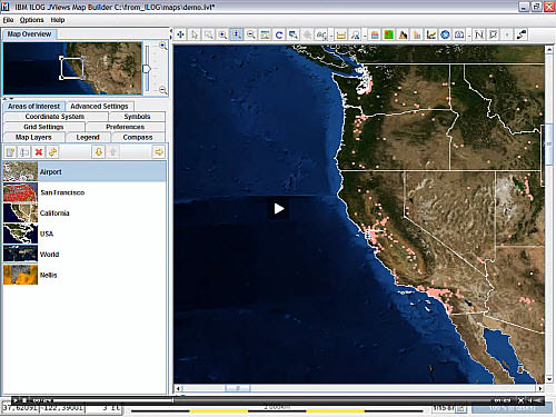
BM ILOG JViews Maps allows developers to display geo-referenced information on top of map data. It employs Ajax techniques such as incremental refreshes, browser caching, and layered views and adds the ability to display data-aware custom objects on top of the map.
IBM ILOG JViews Maps works with the following file extensions:
Note: You can click on any file extension link from the list below, to view its detailed information. The list of extensions used or otherwise associated with the application may not be complete, because many common file extensions on our website, such as jpg (pictures) or txt (text files), can be opened by a large number of applications, or are too general file format. However most, if not all directly associated file extensions should be listed with its appropriate program. Although its likely, that some file extensions may be missing from the list of associated file extensions with the application, yet they can be opened, be part of, or otherwise be associated with the program.
IBM ILOG JViews Maps default file extension associations
Comparison table of actions that IBM ILOG JViews Maps can perform with each of its associated file type beta
This table might not contain all possible associated or supported file types or may contain incorrect data.
If you need more information please contact the developers of IBM ILOG JViews Maps (IBM), or check out their product website.

