Home > Apps > Online services
File extension list filtered by software name
OpenStreetMap
Found 4 file extension associations related to OpenStreetMap and 3 file formats developed specifically for use with OpenStreetMap.
Platform, operating system: ![]() On-line services
On-line services
Go to: OpenStreetMap description
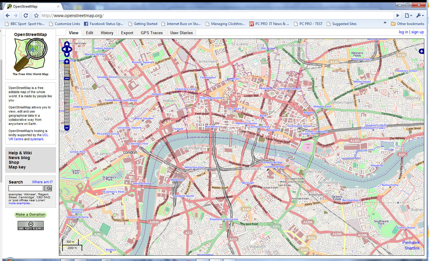
OpenStreetMap
Developer / company: Information is not available
OpenStreetMap is built by a community of mappers That Contribute and Maintain data about roads, trails, cafés, railway stations, and much more, all over the world.
OpenStreetMap icon
![]()
OpenStreetMap icon
size: 128px x 128px (.png with transparency)
OpenStreetMap works with the following file extensions:
Note: You can click on any file extension link from the list below, to view its detailed information. The list of extensions used or otherwise associated with the application may not be complete, because many common file extensions on our website, such as jpg (pictures) or txt (text files), can be opened by a large number of applications, or are too general file format. However most, if not all directly associated file extensions should be listed with its appropriate program. Although its likely, that some file extensions may be missing from the list of associated file extensions with the application, yet they can be opened, be part of, or otherwise be associated with the program.
OpenStreetMap default file extension associations
Common file extensions used by OpenStreetMap
![]() .gpx
.gpx
Comparison table of actions that OpenStreetMap can perform with each of its associated file type beta
This table might not contain all possible associated or supported file types or may contain incorrect data.
If you need more information please contact the developers of OpenStreetMap, or check out their product website.

