Home > Apps > Microsoft Windows
File extension list filtered by software name
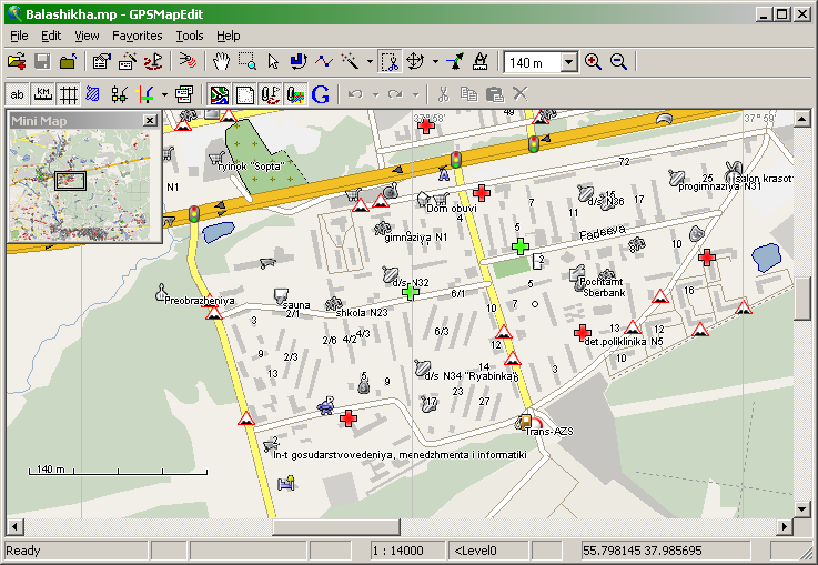
GPSMapEdit
Found 10 file extension associations related to GPSMapEdit
Platform, operating system: ![]() Microsoft Windows
Microsoft Windows
Go to: GPSMapEdit description
Developer: Konstantin Galichsky
GPSMapEdit
Developer / company: Konstantin Galichsky
GPSMapEdit is a commercial converter of various GPS maps for Windows. This software is designed for visual authoring of GPS-maps in various cartographic formats:
- Polish format
- Garmin MapSource
- Lowrance MapCreate
- Navitel Navigator (navigation software for Windows Mobile, Android, Symbian, iPhone)
- ALAN Map 500/600, Holux MapShow
and custom POIs and speedcams for:
- Garmin POI Loader · iGO · TomTom OV2 · Navitel Navigator.
The program may also load and convert GPS-tracks, waypoints and routes in various formats:
- GPX · KML · Garmin · iGO 8 · iGO Primo · Lowrance · Magellan · Nokia · OziExplorer · ALAN · Holux.
Other supported formats are:
- ECW · JPEG 2000 · JPG · BMP · GIF · PNG · TIFF · EXIF · Google Maps · ESRI shapefile · MapInfo MIF/MID · CSV · XLS · DBF · MD
Search converter
Sample related conversions
GPSMapEdit works with the following file extensions:
Note: You can click on any file extension link from the list below, to view its detailed information. The list of extensions used or otherwise associated with the application may not be complete, because many common file extensions on our website, such as jpg (pictures) or txt (text files), can be opened by a large number of applications, or are too general file format. However most, if not all directly associated file extensions should be listed with its appropriate program. Although its likely, that some file extensions may be missing from the list of associated file extensions with the application, yet they can be opened, be part of, or otherwise be associated with the program.
Common file extensions used by GPSMapEdit
Other file extensions associated with GPSMapEdit
Comparison table of actions that GPSMapEdit can perform with each of its associated file type beta
This table might not contain all possible associated or supported file types or may contain incorrect data.
If you need more information please contact the developers of GPSMapEdit (Konstantin Galichsky), or check out their product website.
File type \ Action | Open | Save | Edit | View | Play | Convert | Create | Record | Import | Export | Burn | Extract | Recover | Backup | Settings | Other | |
|---|---|---|---|---|---|---|---|---|---|---|---|---|---|---|---|---|---|
| - | - | - | - | - | Yes | - | - | - | - | - | - | - | - | - | - | - | |
| - | - | - | - | - | - | - | - | Yes | - | - | - | - | - | - | - | - | |
| - | - | - | - | - | - | - | - | - | Yes | - | - | - | - | - | - | - | |
| - | - | - | - | - | - | - | - | - | Yes | - | - | - | - | - | - | - | |
| - | - | - | - | - | - | - | - | Yes | - | - | - | - | - | - | - | - | |
| - | - | - | - | - | Yes | - | - | - | - | - | - | - | - | - | - | - | |
| - | - | - | - | - | - | - | - | Yes | - | - | - | - | - | - | - | - | |
| - | - | - | - | - | - | - | - | Yes | - | - | - | - | - | - | - | - | |
| - | - | - | - | - | Yes | - | - | - | - | - | - | - | - | - | - | - | |
| - | - | - | - | - | - | - | - | - | Yes | - | - | - | - | - | - | - |

