LAZ file extension - Compressed LiDAR data
What is laz file? How to open laz files?
File type specification:
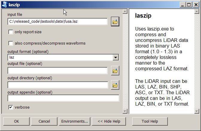
The laz file extension is nowadays mostly known to be used for a specially compressed variant of LiDAR format (.las). It is created using the open-source LASzip.
A typical .laz file is up to 20x smaller compared to original .las files.
This laz file type entry was marked as obsolete and no longer supported file format.
This type of file is no longer actively used and is most likely obsolete. This is typically the case for system files in old operating systems, file types from long discontinued software, or previous versions of certain file types (like documents, projects etc.) that were replaced in higher versions of their original programs.
The default software associated to open laz file:
Company or developer:
rapidlasso GmbH
LASzip - a free open source product of rapidlasso GmbH - quickly turns bulky LAS files into compact LAZ files without information loss.
List of software applications associated to the .laz file extension
Recommended software programs are sorted by OS platform (Windows, macOS, Linux, iOS, Android etc.)
and possible program actions that can be done with the file: like open laz file, edit laz file, convert laz file, view laz file, play laz file etc. (if exist software for corresponding action in File-Extensions.org's database).
Hint:
Click on the tab below to simply browse between the application actions, to quickly get a list of recommended software, which is able to perform the specified software action, such as opening, editing or converting laz files.
laz file converter - software that convert laz file - Compressed LiDAR data
Programs supporting the exension laz on the main platforms Windows, Mac, Linux or mobile. Click on the link to get more information about CloudCompare for convert laz file action.

