There are 26 other file types using
the MAP file extension!
![]() .map - Game map
.map - Game map
![]() .map - ArcView network map
.map - ArcView network map
![]() .map - Route 66 card document
.map - Route 66 card document
![]() .map - DIV Games Studio map image format
.map - DIV Games Studio map image format
![]() .map - Microsoft Visual Studio Linker map
.map - Microsoft Visual Studio Linker map
![]() .map - MAPIMail file
.map - MAPIMail file
![]() .map - Micrografx Picture Publisher data file
.map - Micrografx Picture Publisher data file
![]() .map - NAVIGON map
.map - NAVIGON map
![]() .map - BrainVoyager QX map
.map - BrainVoyager QX map
![]() .map - Pro/ENGINEER data
.map - Pro/ENGINEER data
![]() .map - Delphi detailed map file
.map - Delphi detailed map file
![]() .map - Native Instruments Reaktor wavetable data
.map - Native Instruments Reaktor wavetable data
![]() .map - 3Com Network Supervisor network topology map
.map - 3Com Network Supervisor network topology map
![]() .map - Hex Workshop Hex Editor character map
.map - Hex Workshop Hex Editor character map
![]() .map - Imagination Image Map Editor coordinates
.map - Imagination Image Map Editor coordinates
![]() .map - Ingres termcap mapping
.map - Ingres termcap mapping
![]() .map - Offline Explorer data
.map - Offline Explorer data
![]() .map - OziExplorer map
.map - OziExplorer map
![]() .map - Poser 3D map
.map - Poser 3D map
![]() .map - Server side image map
.map - Server side image map
![]() .map - Weather Defender map
.map - Weather Defender map
![]() .map - Fly! map description
.map - Fly! map description
![]() .map - WAsP terrain map
.map - WAsP terrain map
![]() .map - Leadwerks Game Engine map
.map - Leadwerks Game Engine map
![]() .map - Envision picture image
.map - Envision picture image
![]() .map - Navman map data
.map - Navman map data
MAP file extension - Geographical map
What is map file? How to open map files?
File type specification:
File extension map is often associated with various geographical software.
A .map file are usually graphical images of various maps in either bitmap or vector graphical format. Might sometimes also contain navigation points, routes, points of interests, etc.
These files are used by many programs, the formats are however different and thus incompatible.
MIME types:
application/x-navimap
Updated: November 8, 2023
The default software associated to open map file:
Company or developer:
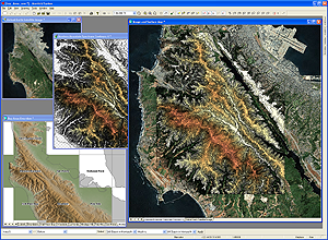
Manifold
Manifold System is GIS solution for Microsoft Windows that contains a desktop application, an objects library for programmers and an Internet Map Server for web applications.
Company or developer:
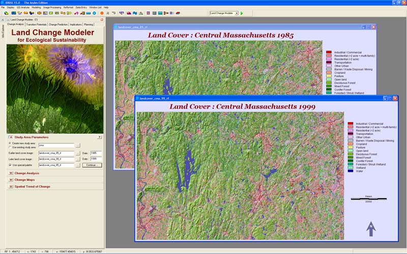
Clark Labs
IDRISI Andes is an integrated GIS and image processing application used to analyse and view digital spatial information.
![]()
Company or developer:
Pitney Bowes Software Inc. (MapInfo)
MapInfo is mapping application for Microsoft Windows. It is used to visualize the relationships between data and geography. MapInfo gives users the tools to examine and demonstrate the relationship between geography and data thanks to its powerful analytical and geoprocessing tools.
![]()
Company or developer:
Pierre-Emmanuel Gougelet
A free (for non-commercial purposes) powerful cross-platform media browser, viewer and converter. Compatible with more than 500 formats and also supports export to 70 different file formats. It works on Windows, Linux and macOS (OS X).
List of recommended software applications associated to the .map file extension
Recommended software programs are sorted by OS platform (Windows, macOS, Linux, iOS, Android etc.)
and possible program actions that can be done with the file: like open map file, edit map file, convert map file, view map file, play map file etc. (if exist software for corresponding action in File-Extensions.org's database).
map file viewer - programs that view map file - Geographical map
Programs supporting the exension map on the main platforms Windows, Mac, Linux or mobile. Click on the link to get more information about listed programs for view map file action.
Microsoft Windows:
Main software associated with map file by default:
Manifold System
IDRISI Andes![]() MapInfo
MapInfo

