IGE file extension - Erdas Imagine large raster spill data
What is ige file? How to open ige files?
File type specification:
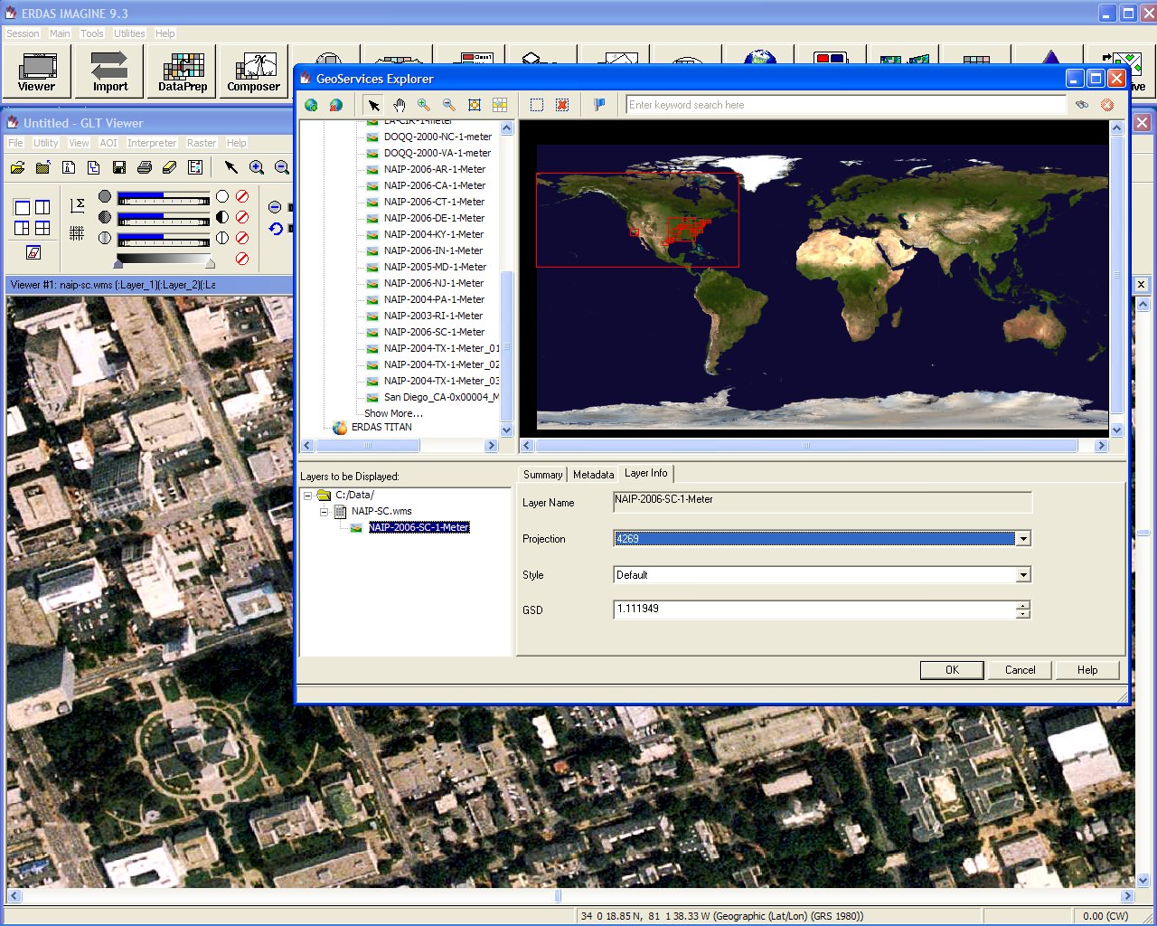
File extension ige is related to ERDAS IMAGINE, a geospatial data authoring software, and used for so called Large Raster Spill files.
When creating images requiring more than 4GB of disk space in Imagine a two file dataset is created.
The img contains the traditional superstructure, but the actual image data is kept in a separate non-HFA file format, normally with the extension .ige.
This is presumably done to get around the 32-bit file offset limitations of HFA format which makes it impossible to address large images.
The default software associated to open ige file:
Company or developer:
ERDAS, Inc.
ERDAS IMAGINE is the world’s leading geospatial data authoring software. ERDAS IMAGINE performs advanced remote sensing analysis and spatial modeling to create new information. In addition, with ERDAS IMAGINE, you can visualize your results in 2D, 3D, movies, and on cartographic quality map compositions.
List of software applications associated to the .ige file extension
Recommended software programs are sorted by OS platform (Windows, macOS, Linux, iOS, Android etc.)
and possible program actions that can be done with the file: like open ige file, edit ige file, convert ige file, view ige file, play ige file etc. (if exist software for corresponding action in File-Extensions.org's database).
Hint:
Click on the tab below to simply browse between the application actions, to quickly get a list of recommended software, which is able to perform the specified software action, such as opening, editing or converting ige files.
Software that open ige file - Erdas Imagine large raster spill data
Programs supporting the exension ige on the main platforms Windows, Mac, Linux or mobile. Click on the link to get more information about ERDAS IMAGINE for open ige file action.


